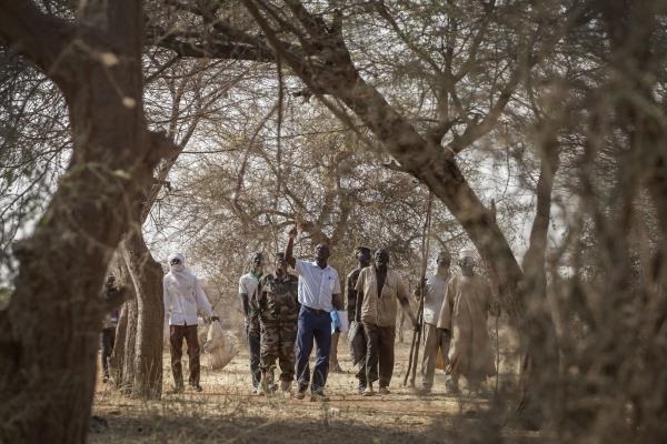
5 December 2019, Rome/Madrid - More than a quarter of the world's forest area is located in drylands, and trees are present on almost a third of the world's dryland regions, according to Trees, forests and land use in drylands: The first global assessment, launched by FAO today at the High-Level Meeting on Forests at the U.N. COP25 climate summit.
The results "demonstrate that drylands are not wastelands, but productive landscapes with considerable economic potential and environmental value."
The report, which includes large amounts of data on global and regional land use and forest cover, represents FAO's delivery of a promised "collective product" on the status of drylands around the world. The assessment complements FAO's Global Forest Resources Assessments but differs in that its primary data are developed through visual interpretation of freely available satellite images in a global team effort using FAO's Open Foris Collect Earth tool.
"Understanding the status and changes of dryland forests, tree cover and land use is vital to evaluate the impact of climate change and human activities, the results of adaptation and mitigation measures and progress towards meeting regional targets for land degradation neutrality," says Hiroto Mitsugi, FAO Assistant Director-General of the Forestry Department.
The new report engaged more than 200 experts and a series of regional workshops in collaboration with partner universities, research institutes, governments and non-governmental organizations worldwide, and draws on information from 213.782 sample plots, each measuring around half a hectare.
While specific instances require reality checks on the ground, the interpretation of high-resolution remote-sensing images presented in the assessment can help policymakers identify optimal investment strategies to combat land degradation and desertification, conserve biodiversity, support livelihoods and help increase the resilience of landscapes and communities, especially in the face of climate change.
What the assessment shows
Drylands, comprising hyperarid, arid, semi-arid and dry sub-humid zones, cover about 6.1 billion hectares, or 41 percent of the Earth's land surface. Of these, some 1.1 billion hectares (18 percent) consist of forest, according to FAO's assessment.
Drylands are home to an estimated 2 billion people, half the world's livestock, and more than a third of global biodiversity hotspots, and provide critical migration points for birds. Their ecosystems are vulnerable to water shortage, drought, desertification, land degradation and climate change impacts.The world's drylands are expected to expand by 10 to 23 percent by the end of the 21st century, with dangerous ramifications for food security, livelihoods and human welfare.
Globally, about 18 percent of drylands are forest, just over half of which have canopy density above 70 percent, while barren land accounts for 28 percent, grassland 25 percent and cropland 14 percent. Trees are also present on drylands outside of forests, notably in Asia and Europe, and all told there are trees on some 2 billion hectares of drylands.
The report offers detailed assessments broken out by region.
FAO also released a new issue of Unasylva exploring the role of forests as nature-based solutions for water management. Its key message is that forested watersheds provide an estimated 75 percent of the world's accessible freshwater resources and thus constitute are crucial and cost-effective natural infrastructure for the production of high-quality water - including for cities - for more than half the world population. Their management for water will become increasingly important in the face of climate change.